Leh India
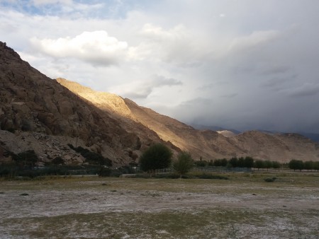
Leh is located in the Indus river valley at a crossroads of the old trading routes from Kashgar, Tibet, and Kashmir.
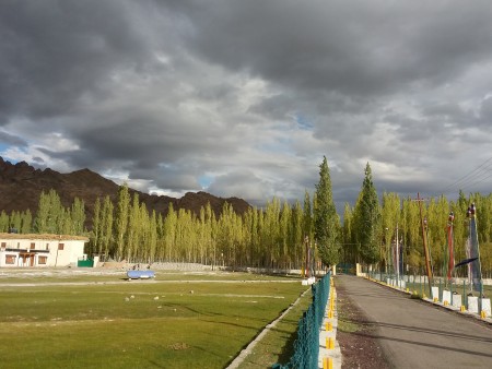
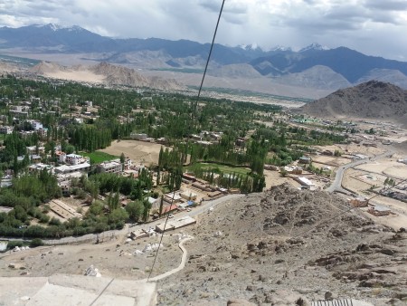
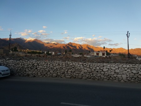
Since opening to tourists in 1974, it has become a bustling tourist town, with large numbers of Kashmiri traders.
It's a small town, easy to get most places by foot. The old town is a compact area of mud brick houses and
narrow lanes directly to the east of Main Bazar. Changspa is the agricultural "suburb" northwest of the center,
with many guesthouses.
The main Bazaar's elevation is 3505 meters , so take it easy on your first few days there or risk possible altitude
 sickness. Even experienced high altitude travellers (Andes) might have some trouble.
Travelling in Leh without professional guidance is like shooting for the moon while being too busy gazing the
stars.
There are various giants offering customized packages that are tailor-made to suit your needs.

How to get here:
There are two roads in to Leh, one from Manali in Himachal Pradesh in the south, and one from Srinagar in
the west. Both routes are equally spectacular in different ways, and both are time consuming with winding,
narrow roads, and numerous military checkpoints.
The main advantage of taking the road from Srinagar, covering a distance of 434 km (270 mi), is that it runs
at a lower altitude, and thereby reduces the risk and severity of altitude sickness. It is also open longer -
normally from the beginning of June to October - and follows the traditional trade route between Ladakh and
Kashmir, which passes through many picturesque villages and farmlands. The disadvantage is that it passes
through areas of higher risk of militant troubles. It takes two long days, with an overnight stop in Kargil. Tickets
cost Rupees 370/470 on ordinary/deluxe buses.
The route from Manali to Leh, covering a distance of 473 km (294 mi), is one more commonly taken by tourists.
 It takes two days, normally with an overnight stop either in Keylong (alt. 3096) or in tent accommodation in
Sarchu (4253) or Pang (4500). Making the first stop in Keylong drastically reduces the risk of altitude sickness
(AMS). It traverses one of the highest road passes in the world and is surrounded by wild rugged mountains.
The scenery is fantastic, though it is definitely not for the faint hearted. This historical trade route was linked to
Yarkhand and was severed by the India-China war in 1962, and later was transformed in to military supply road.
Reliable access is limited from mid-June to end-September, as it is blocked by snow for rest of the year. Clearing
of snow on both these roads starts sometime in early April.